Process real-time environmental data to uncover potential risks and improve decision-making surrounding target properties.
Site & Resource Assessment Environmental Data
Access the most comprehensive environmental data and ASTM E1527-21 and AAI-compliant records.
Near real-time data delivery provides valuable property insights and guides better-informed decision-making.
Manual verification of government-provided geolocations to ensure accurate representation on report-generated summary maps.
Extensive government and environmental data allow users to facilitate accurate site assessments and other environmental service activities.

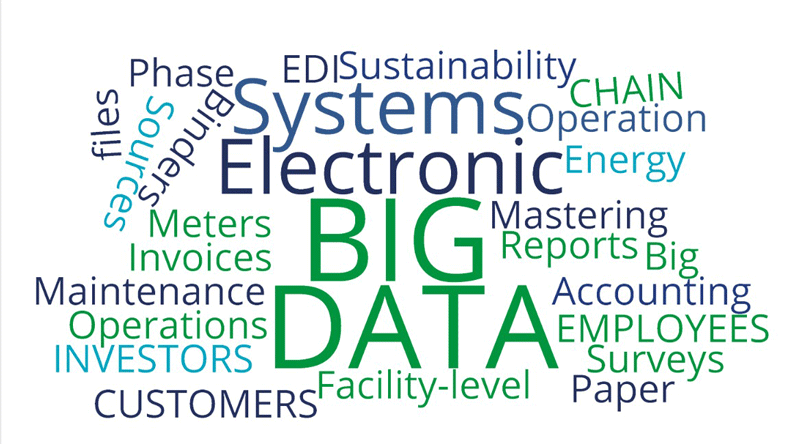
Our services include millions of records of environmental and governmental data sourced from over 2,000 different databases. Whether you’re an environmental, real estate, municipal, or other professional that requires up-to-date information, we have the solution you need. Use our data for a variety of applications and services, including but not limited to:
 Search over 2,000 government databases
 Scalable and customizable database searches
 Dynamic evaluation of resulting data search
 Secure environmental report downloading
 Accurate and efficient ordering platform
Our solutions provide an array of data for various points of interest:
Historical environmental records
Geographical data points
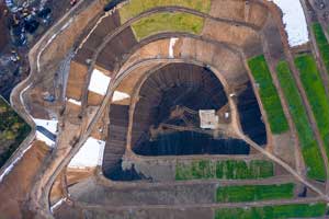
Aerial and topographical maps
Area and corridor studies
City Directories


A purpose-driven provider of Global Business Services solutions that advances sustainable business and operational practices by transforming risk into positive impact and value.
Do you have a solution that would make a good addition to the ADEC Enterprise Marketplace? Fill out the form below and we will be in touch within the next 1-2 business days.
Do you have a solution that would make a good addition to the ADEC Enterprise Marketplace? Fill out the form below and we will be in touch within the next 1-2 business days.